Dosiye:Romania (orthographic projection).svg

Size of this PNG preview of this SVG file: 553 × 553 pixels. Indi ingano zagutse: 240 × 240 pixels | 480 × 480 pixels | 768 × 768 pixels | 1.024 × 1.024 pixels | 2.048 × 2.048 pixels.
Dosiye nyirizina (SVG file, nominally 553 × 553 pixels, file size: 305 KB)
.svg)
Incamake
| Umwirondoro |
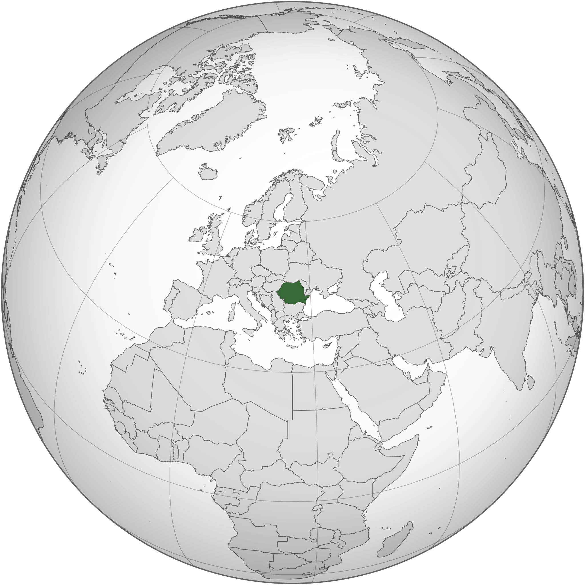
English: Romania and the EU orthographic projection
Română: România în cadrul UE. |
| Itariki | |
| Inkomoko |
This W3C-unspecified vector image was created with Inkscape . |
| Umwanditsi | Luciandrei |
.svg)
Uruhushya
This file is licensed under the Creative Commons Attribution-Share Alike 3.0 Unported license.
- Ufite umudendezo:
- gusangiza – to copy, distribute and transmit the work
- to remix – gutangira ibikorwa
- Under the following conditions:
- umurimo – You must give appropriate credit, provide a link to the license, and indicate if changes were made. You may do so in any reasonable manner, but not in any way that suggests the licensor endorses you or your use.
- imigabane isa – If you remix, transform, or build upon the material, you must distribute your contributions under the same or compatible license as the original.
Amateka ya dosiye
Kanda kwitariki/n'isaha kugirango ufungure dosiye nkuko yagaragaye cyagihe.
| Itariki/Isaha | Ifoto ntoya | Ibipimo | Umukoresha | Comment | |
|---|---|---|---|---|---|
| muri iki gihe | 18:34, 18 werurwe 2015 | | 553 × 553 (305 KB) | Flappiefh | Added South Sudan. |
| 04:01, 27 Ukuboza 2014 |  | 541 × 541 (463 KB) | Grachifan | Reverted to version as of 20:19, 6 September 2012 it's no necesary to show european union, just the location of romania | |
| 20:55, 6 Nzeri 2012 |  | 541 × 541 (633 KB) | TUBS | rv: Din't you get the theo other areas shows EU and the continent of Europe. It's maybe not the greatest map on Earth. It's no WWII thing, though. | |
| 20:19, 6 Nzeri 2012 |  | 541 × 541 (463 KB) | Incnis Mrsi | sorry, but the title reads "Romania (orthographic projection)", not "Romania, its fascist allies, their occupied territories and all lands yet to be conquered" ☺ | |
| 11:17, 10 werurwe 2010 |  | 541 × 541 (633 KB) | Luciandrei | mici modificari | |
| 11:12, 10 werurwe 2010 |  | 541 × 541 (633 KB) | Luciandrei | {{Information |Description={{en|1=Romania and the EU orthographic projection}} {{ro|1=România în cadrul UE.}} |Source=This map is based on:File:Europe_(orthographic_projection).svg by User:Ssolbergj |Author=Luciandrei |Date= |
.svg)
Ikoreshwa rya dosiye
Ibi bikurikira abakoresha urupapuro iyi dosiye:
Ikoreshwa rya dosiye rusange
Izindi wiki zikurikira zikoresha iyi dosiye:
- Ikoreshwa kuri af.wikipedia.org
- Ikoreshwa kuri az.wiktionary.org
- Ikoreshwa kuri en.wikipedia.org
- Ikoreshwa kuri es.wikipedia.org
- Ikoreshwa kuri fr.wiktionary.org
- Ikoreshwa kuri id.wikipedia.org
- Ikoreshwa kuri ka.wikipedia.org
- Ikoreshwa kuri mzn.wikipedia.org
- Ikoreshwa kuri ro.wikibooks.org
- Ikoreshwa kuri ru.wikipedia.org
.svg)